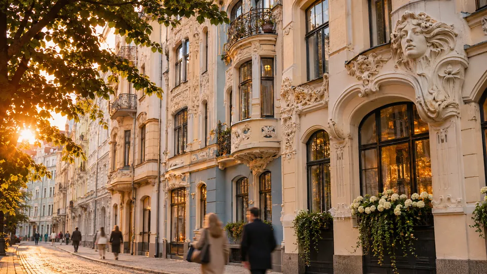
Riga.
Riga on foot: 13 places explained, 3 routes drawn on real streets, 4 districts and the essentials for getting around. Sources are cited on every page.
- 13
- places
- 3
- routes
- 4
- districts
The essentials
Numbers refer to the map of places
How we work
A guide to read while walking: every place has its story, every route follows real streets.
Where to stay
Recommended districts to stay within walking distance
- VecrīgaBooking.comHotels.com
- ĀgenskalnsBooking.comHotels.com
- ĶīpsalaBooking.comHotels.com
- BolderājaBooking.comHotels.com
Partner links: via.city may earn a commission, at no extra cost to you.
Where to start
Distances measured along the line; times are walking time only, without visits.
Map of places


Off the map: 13. Bastion Hill
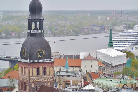
- 1Riga CathedralChurches and chapels
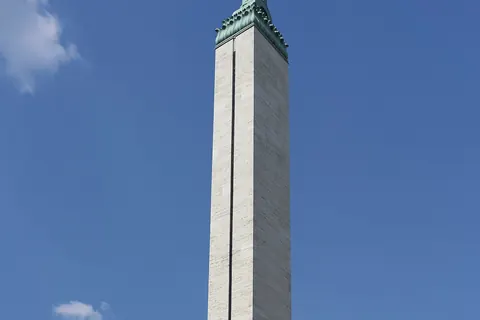
- 2Freedom MonumentMonuments
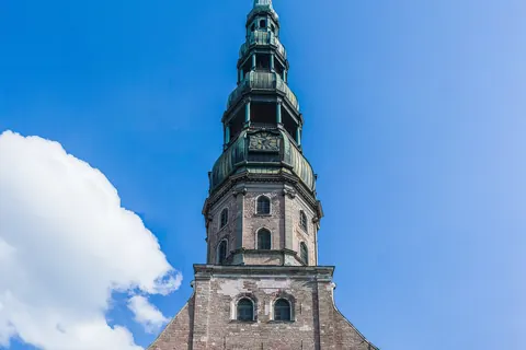
- 3St. Peter’s ChurchChurches and chapels
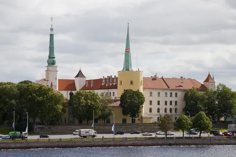
- 4Riga CastleMonuments
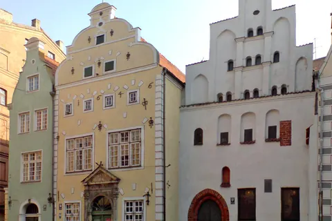
- 5Three BrothersMonuments
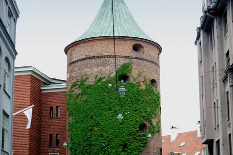
- 6Powder TowerWalls and towers
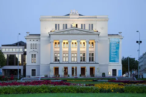
- 7Latvian National OperaShows
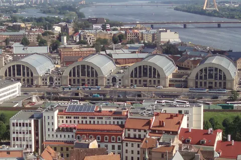
- 8Riga Central MarketMarkets
- 9Swedish GateMonuments
- 10St. James’s CathedralChurches and chapels
- 11Latvian National Museum of ArtMuseums
- 12Cathedral of the Nativity of ChristChurches and chapels
- 13Bastion HillGardens
Districts
Vecrīga
Vecrīga is the historical center and a neighbourhood of Riga, Latvia, located in the Central District on the east side of Daugava River.
Āgenskalns
Āgenskalns is a district in Riga, located on the left bank of the Daugava, an old neighbourhood, mainly built in the late 19th to early 20th century.
Ķīpsala
Ķīpsala is an island on the left bank of the Daugava river, connected to Riga city center and Pārdaugava by the Shroud Bridge.
Bolderāja
Bolderāja is a neighbourhood of Riga, the capital of Latvia.
App in preparation
The Riga guide has no app yet. Leave your address: a single message on the day it comes out.